
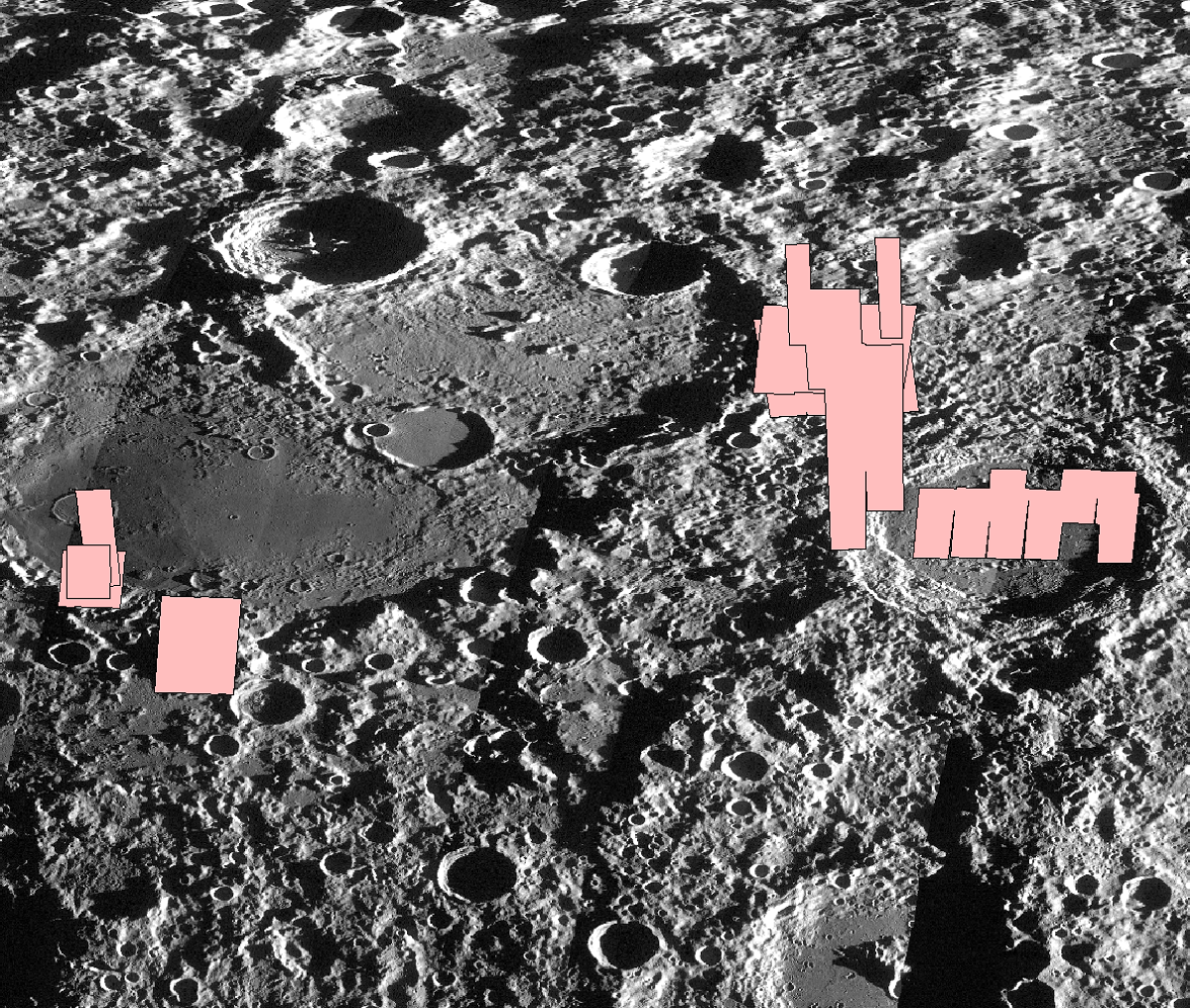
Global Controlled Mosaic ROI Shapefile
Shapefile of LROC Controlled Mosaic ROIs on the lunar surface. Polygons were generated from the NAC controlled mosaics using GDAL and OGR tools. The shapefile uses Moon_2000 geographic coordinate system.
Shapefile Field Descriptions:
- name - PDS Sitename
- sitename - Sitename including context and comments.
- version - Version of the controlled mosaic.
- center_lon - Center longitude in degrees.
- center_lat - Center latitude in degrees.
- proj_date - Date the controlled mosaic was completed.
- incidence - Average incidence angles in degrees.
- sun_direct - Sun direction, east or west.
- resolution - Pixel scale (meters).
- coverage - Areal coverage in sq. km.
- sigma0 - Overall sigma0 value from running ISIS3 jigsaw. Gives an indication of the success of the bundle adjustment. Should be close to 0.
- ranking - Qualitative ranking of controlled mosaic aesthetics. Primarily used to sort mosaics in Quickmap. High values are nicer-looking mosaics.
- rad_source - Radius source used for the elevation values in the bundle adjustment. Usually an ASU NAC DTM or a global DTM, but may include ASP derived NAC DTMs.
- shapemodel - Shapemodel used for map-projection.
- url - Download URL for the RDR product.
For more information, refer to: Klem, S. M., et al. "Controlled LROC narrow angle camera high resolution mosaics." Lunar and Planetary Science Conference. Vol. 45. 2014. https://www.hou.usra.edu/meetings/lpsc2014/pdf/2885.pdf
This shapefile contains footprints of controlled mosaics released up through 2024-03-15.
NAC Controlled Mosaics Shapefile
Extra Downloads
- Zip file containing shapefile for NAC Controlled Mosaics - 360 domain - (42.53 MB)
- Zip file containing shapefile for NAC Controlled Mosaics - 180 domain - (42.98 MB)
- README NAC Controlled Mosaics - (1.53 KB)
- PDS Directory For NAC Controlled Mosaics - 360 domain
- PDS Directory For NAC Controlled Mosaics - 180 domain

